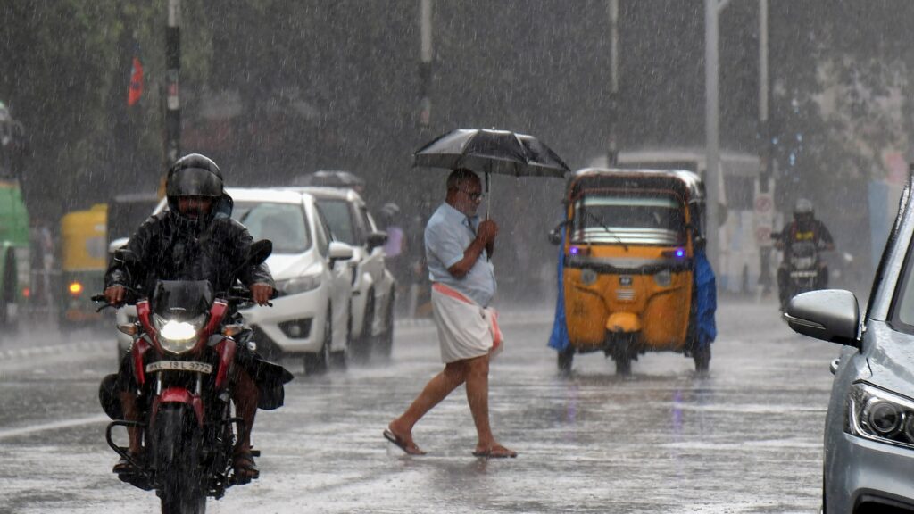
The monsoon may have landed in India, but only just. And even before it could take hold, cyclone Biparjoy might scuttle it off-course. Last Thursday, the monsoon arrived over Kerala, seven days after it normally arrives in the southern state, even as scientists warned that the onset of the monsoon remained weak, adding to already simmering anxiety on account of the El Nino weather phenomenon, which is correlated with poor rainfall performance.
Then, on Saturday, this newspaper reported that Biparjoy, which had developed into a very severe cyclonic storm, is expected to intensify further in the next 12 hours and move northwards. The India Meteorological Department (IMD) issued a heavy rainfall alert for Kerala and coastal Karnataka for the next three days, and Lakshadweep for the next two days. The next few days will be crucial to track the progress and trajectory of the cyclone. Typically, a cyclone doesn’t augur well for the monsoon because it pulls the moisture away from the Indian coast.
The importance of the monsoon can hardly be overstated in a country where half of the farmed area is rain-fed and nearly 50% of the population is dependent on agriculture. Scientists and policymakers will, therefore, keep a keen eye on the progress of cyclone Biparjoy to see how it moves up the Arabian Sea, causes rainfall along the western coast and if it affects the monsoon moving into the hinterland. This will impact sowing for the monsoon-grown and winter-harvested crops, and the authorities will have to adequately guide farmers who often opt for early sowing in food-bowl states. In a world where climate patterns will become more unpredictable and capricious, such alert and nimble policies will be the only recourse soon.
Enjoy unlimited digital access with HT Premium
Subscribe Now to continue reading


